Port Lands Watch: What’s up with Villiers Island?
In part one of our series on the evolving Port Lands, we look at plans for this new neighbourhood, including greenspace.

Cities are evolving, ever-changing places at the centre of so much that is important to us in the modern age, and if you live in Toronto, you are likely intimately familiar with what this change often looks like — high-rise condo towers, increased congestion on transit, more traffic, and lots and lots of construction.
A lot of this change has occurred along the city’s waterfront and adjacent areas, from Liberty Village, to CityPlace, to Humber Bay Shores. Much of it was enabled by a slow withering of traditional industry, and some admittedly huge shifts like the transferring of freight rail traffic away from Union Station to the York Region.
And despite the many conflicting needs Torontonians have from the waterfront, it is thriving — the almost decade-old revitalization of Queens Quay has much improved the street that feels more popular than ever. Also, Waterfront Toronto has even worked on modifying designs to improve the sense of separation between pedestrians and cyclists.
At the same time, new development continues east along the lakeshore as well as in contemporary developing areas like the West Don Lands.
Also, as it turns out, this change isn’t going anywhere. The city is currently building — unbeknownst to most residents — an entirely new neighbourhood larger than Kensington Market, right on the eastern waterfront. It’s called Villiers Island.
So, what’s in store for this new neighbourhood, and what is it replacing?
What’s the state of the eastern waterfront today?
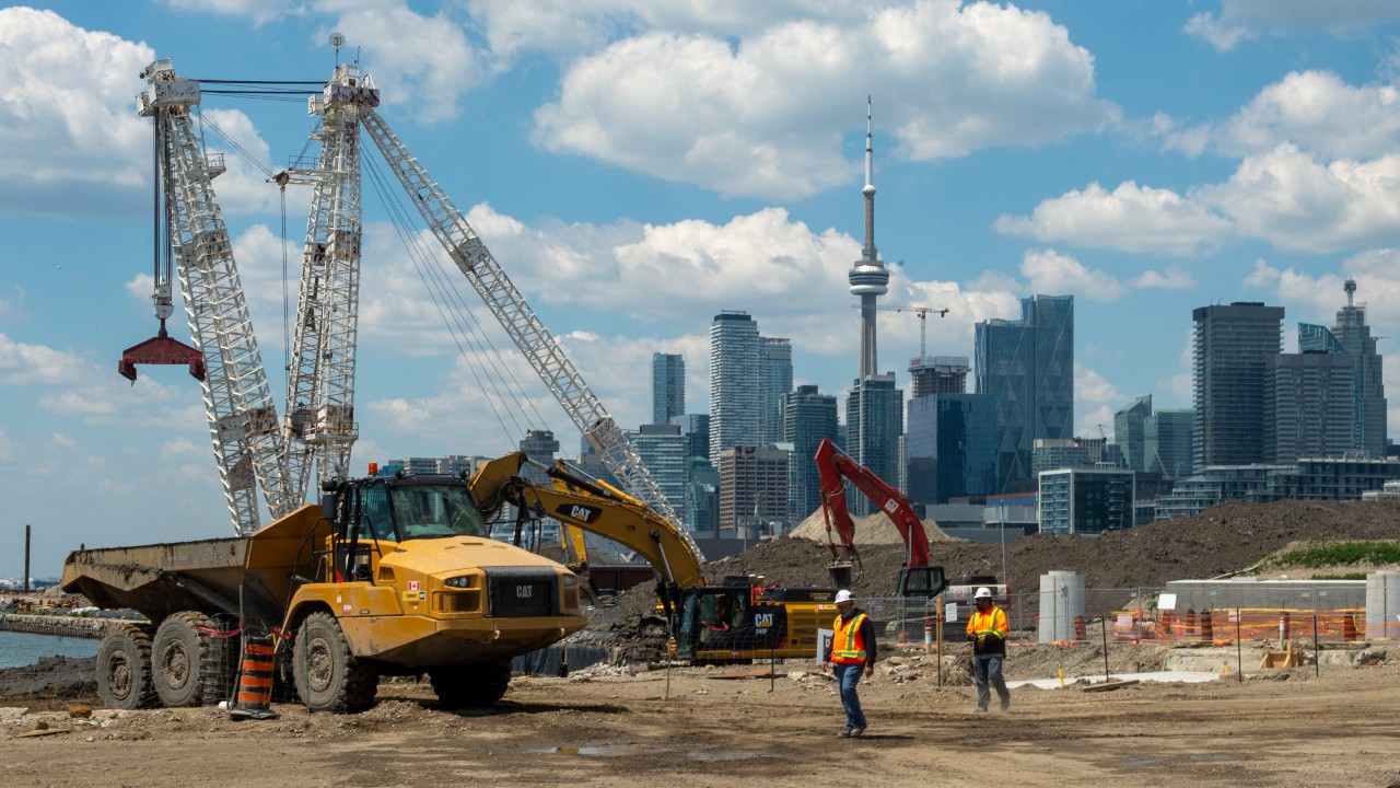
The 35.5-hectare (87.7-acre) Villiers Island neighbourhood is located in an area broadly known as the Port Lands, in reference to the massive port areas jutting out into Lake Ontario at the foot of the Don River. These spaces have seen a decline in heavy industry, which is clear to see from the Hearn — a decommissioned fossil fuel power station rising above them.
But they still do have plenty of lighter, less-1800s-esque industry, including a new smaller power station — the Portlands Energy Centre — as well as a mix of construction, logistics, and city services facilities, such as the massive Leslie Barns streetcar facility and the Ashbridges Bay sewage plant.
In recent years, film production has also boomed in the area, from Pinewood Toronto Studios to the massive $250-million Basin Media Hub complex set to start construction in 2023.

The early stages of a new neighbourhood
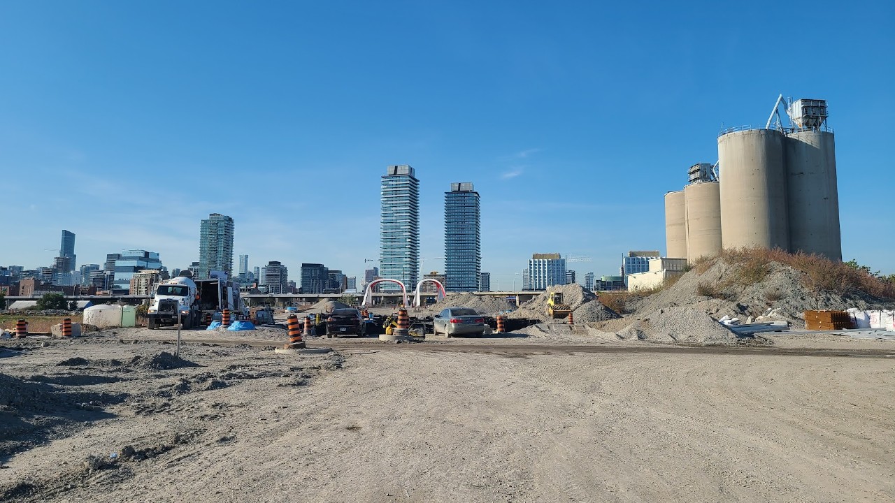
Current work in Villiers Island centres around soil remediation — which involves removing contaminants both physically and by other processes — and compacting to stabilise the often waterlogged ground. This work is scheduled to be completed by 2024.
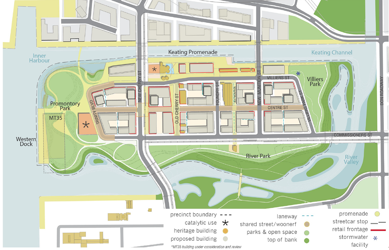
After that, as new roads and utilities are installed, we’ll see new developments spring up in the area roughly bounded by Cherry St. and the Don Roadway to the west and east, and Villiers St. and Commissioners St. to the north and south.
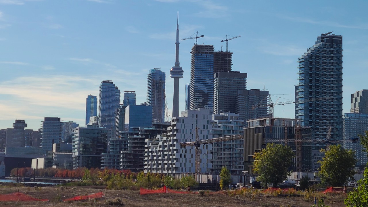
These new developments will likely take similar forms to others already seen in the West Don Lands, with a mixture of architectural styles, but generally less height and less glass than we see in areas like Liberty Village or CityPlace. Popular contemporary building techniques like mass timber construction may also play a part, especially considering mass timber is already being used for new office buildings just across the water along Queens Quay E.
There is a tension here, though, as some housing advocates feel the mid-height development is a suboptimal use of land that is being completely transformed with public money. The federal, provincial, and municipal governments have jointly contributed $1.25 billion just for flood protection, with additional funds for other development projects.
And former mayor John Tory seemed to agree. As of December 2022, his new housing action plan was calling for a review of density planned for the Port lands.
But of course, Villiers Island is still an area with lots of potential, not only for interesting new urban landscapes with things like cycle tracks and transit being planned — if not built — from day one, but also for still-substantial volumes of new housing, as Toronto welcomes more and more residents in the coming years.

Re-building greenspace in an industrial area
On the whole, Toronto has green space in spades. But it’s in short supply in central areas of the city, and is often not very accessible. Proposals have been a dime a dozen to fix this from decking over the Union Station rail corridor, to converting part of University Ave.
The Port Lands project offers a guaranteed opportunity to create some legitimately large green public spaces near the water that most residents will be happy to have. But that comes with a caveat — they may not be easily accessible if transport links are not prioritised.
The potential public spaces include a large open-programmed park known as Promontory Park on the western end of Villiers Island, which will have open areas for sports and other activities, places for kids to run and play, and coves along the river that will allow people to launch canoes and kayaks. There should also be incredible views of the Toronto Skyline.

Along the south shore of the island will be the massive new River Park, which will feature walking trails, nature-viewing areas, lots of wetlands and other habitats, and places to sit and picnic. With construction on the river valley moving towards completion, many of these features have become visible, including seating areas on boulders along the new river.
There will also be a third park at the northeast corner of the island called Villiers Park, which will play host to a sports field.
All of these works are being undertaken by Waterfront Toronto, an agency formed out of a collaboration between the Canadian federal government, the province, and the city. The agency has done all manner of projects across the waterfront, from the aforementioned redesign of Queens Quay to several projects that have flown under the radar, such as major flood protection in the West Don Lands.
The Port Lands and Villiers Island in particular are coming at a great time for the city, and have huge potential. But to build a new neighbourhood in the lake, you need to consider our changing climate, and one of the greatest risks that brings to Toronto — flooding.
Keep Digging
We hope you enjoyed the final piece in our four-part “Port Lands Watch.” If you missed them, we encourage you to check out the other pieces in the series:
- Part 2: Why Waterfront Toronto is building a new mouth for the Don River
- Part 3: How Villiers Island will work for Torontonians without cars
- Part 4: East Harbour and the future of Toronto’s eastern waterfront
Code and markup by Chris Dinn. ©Torontoverse, 2023