Tracking streetcars to find ways Toronto can improve service
We built a data visualization using real streetcar movement. Here’s what we learned.
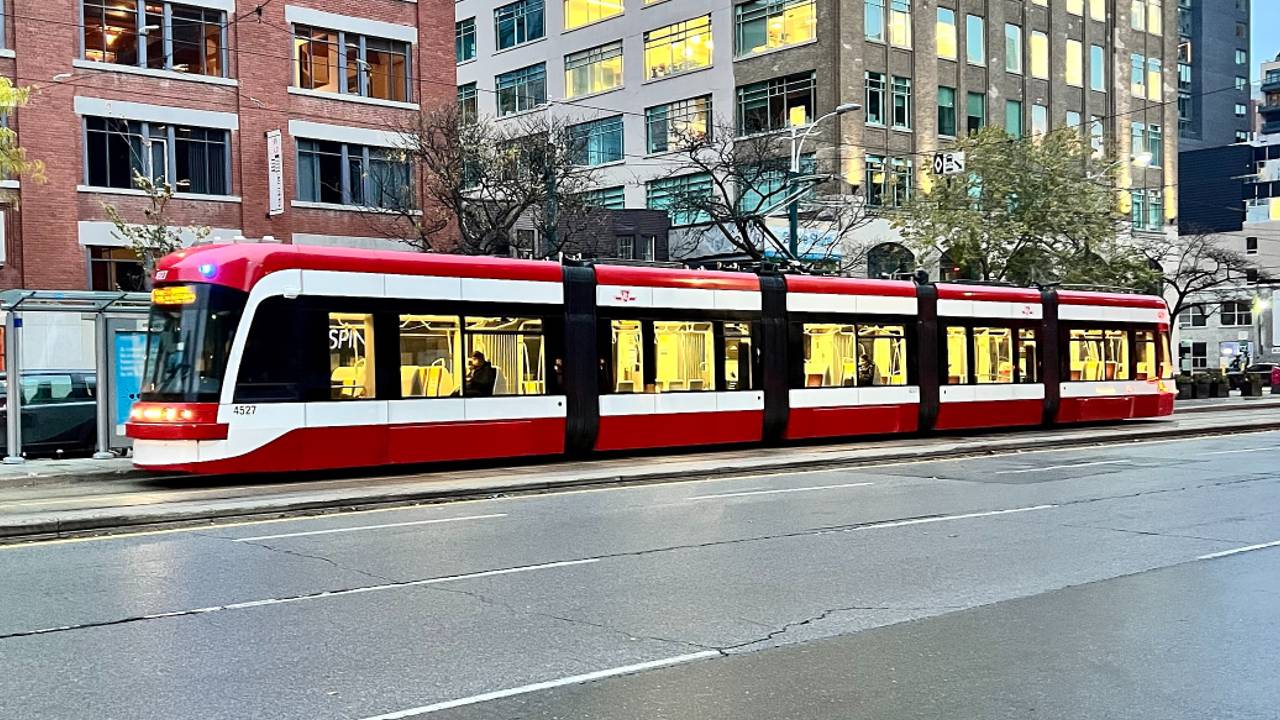
Toronto’s streetcars are famous for their iconic design and centrality in some of the city’s most vibrant urban landscapes. And the Toronto Transit Commission was right to keep them as other cities around the world shut their networks down and ripped up the rails decades ago.
That said, they’ve also got a reputation for being slow and unreliable. Today, the network can no longer afford to be the scenic route and little more.
With an increasing number of network closures, such as the several-year-long shutdown of the central part of Queen St., plus new and improved travel options from more subway lines to a better cycling network, Toronto’s streetcars are facing existential challenges once again.
On the other hand, with a flurry of new developments and even entire new districts, the citywide legalisation of missing-middle housing, and a very young fleet of modern high-capacity vehicles, the network’s potential has perhaps never been greater.
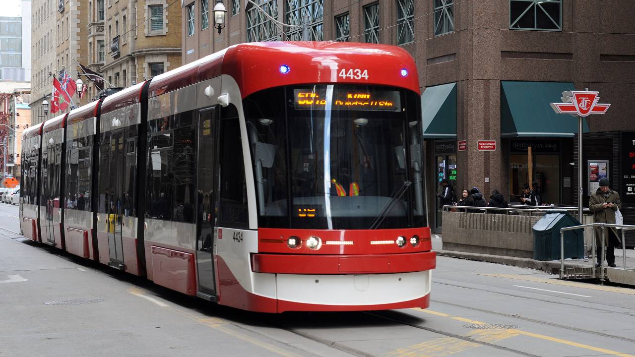
Because of this, we grabbed data right off of the streetcars rolling around Toronto’s streets to identify ways the TTC can improve and enhance service. On May 1, we set up trackers on three routes — the 504 King, 506 Carlton, and 510 Spadina. Then we built a visualization of those streetcars moving throughout the city to see what we could find.
Check out the map accompanying this article to explore and interact with the data, and read on for what we discovered. Tap the legend icon — an eye with sparkles around it — to find the controls, which allow you to pause and adjust playback speed.
What’s with all this bunching?
The first thing that’s really noticeable in the visualization is the “bunching” on the 506 Carlton. At one point in the afternoon of May 5, there were just as many streetcars between Jarvis and Spadina — roughly 2 km — as on the entire route east of Jarvis, which is roughly 8 km.
Bunching happens because transit is often unstable despite scheduling. If a streetcar or bus falls behind, more people can make it to each approaching stop before it arrives. These additional passengers then slow down boarding and cause the vehicle to fall further behind.
At the same time, the next vehicle along runs into stop after stop with less people, since stops were just cleared by the previous vehicle, leading it to catch the vehicle in front.
Fighting this phenomenon is not easy. For buses, you can do a “short turn,” where a bus at the front of a bunch can drop off its passengers and turn around to fill a service gap heading in the other direction. Unfortunately, Toronto’s streetcars are rarely so nimble — and the rampant use of short turns in the past seems to have sour on the concept.
If the streetcars were double ended like Melbourne’s trams or the Toronto “LRT” lines, however, simple crossovers could be built at various points along the line, allowing vehicles to easily turn around.
Despite the dedicated lanes, we even see lots of bunching on the 510 Spadina. At one point on May 5, you can actually see two groups of three streetcars plodding up and down Spadina Ave.
The Spadina streetcar clearly has a higher density of vehicles than the Carlton car and this only makes it more prone to bunching.
Managing a loop
A similar, compounding problem is allowing vehicles that arrive at their destination in a bunch to also depart in a bunch.
You can see this happening a lot on the 510 at Spadina Station, where several streetcars arrive and depart in quick succession. Instead of this, later vehicles should be held at the station, which needs to be expanded so that more streetcars can load and unload passengers at once.
When functioning properly and under careful management, tram routes can run on a timely schedule. The Waterloo ION runs on a clockface schedule and departs stops on time to the minute. In an ideal world, all the vehicles on a route like Spadina — which also benefits from dedicated lanes — would be just as consistent.
.jpg)
The King St. rocket
We can also see some good stuff in the visualization, particularly watching streetcars run through the central sections of King St. In short: They move quite fast.
This is surprising given that King St. through the financial and entertainment districts consists of some of the densest and most congested neighbourhoods in Canada. But clearly the King Street Transit Priority Corridor remains extremely effective at speeding up streetcars and buses by discouraging through traffic for most of the day.
Another thing you’ll often see is fewer vehicles visible on the core portions of King than on the outer legs (zoom to King between Jarvis and Bathurst). This is a visual representation of vehicles efficiently getting in and out of the priority corridor.
That’s not just good for passengers, but also for the transit system’s bottom line — a critically important issue as the TTC is facing major budget deficits. By speeding up routes, more service can be delivered with fewer operators reduces cost while improving transit.
Buses AND streetcars?
There’s a lot more we can see when observing King St. For one, because of construction work at Queen and Roncesvalles, King streetcar service ends at Dufferin St., and buses fill in the gap to the west. But additional bus services also operate on other branches, (just before 5/5/2023 - 1:58:36 look at bus 8433) such as the one to Exhibition Place.
While Toronto shouldn’t let its streetcar network decline, it seems pretty clear that enacting more transit priority corridors like King and then running additional bus service on top of the streetcars would be a good thing. Having buses run to major nodes of density just off streetcar corridors brings service closer to more people.
At present, a lot of the trips that take the longest in the old city of Toronto are diagonal, because they require transferring. Using King and Spadina, for example, as express transit corridors that could serve north-south and east-west branches respectively could do a lot to fill this gap.
Cities like Budapest are great models to look at for having buses and trams share infrastructure.
Chokepoints
Unfortunately, while there are places where the streetcars really fly — such as on the central King St. corridor — there are also spots where they get backed up and grind the street to a halt.
One of the worst spots for this is on the 510 just south of the Gardiner Expressway. At this location, some southbound 510 streetcars take a left to head east on Queens Quay while others turn around to head back north. With the heavy traffic on Lake Shore Blvd. — not to mention merging on and off the Gardiner — streetcars can line up in a row.
In such cases, transit truly needs to be prioritised by giving it the green signal more often, and this will come at the cost of car traffic. But, in the long run, such initiatives will make transit more reliable and competitive with driving, which will reduce overall congestion.
This article was built using a new real-time transit playback module developed by our team. If you know of a problematic transit route anywhere in the Greater Toronto Area, tell us about it on Twitter, Facebook, or Discord.
Code and markup by Chris Dinn. ©Torontoverse, 2023