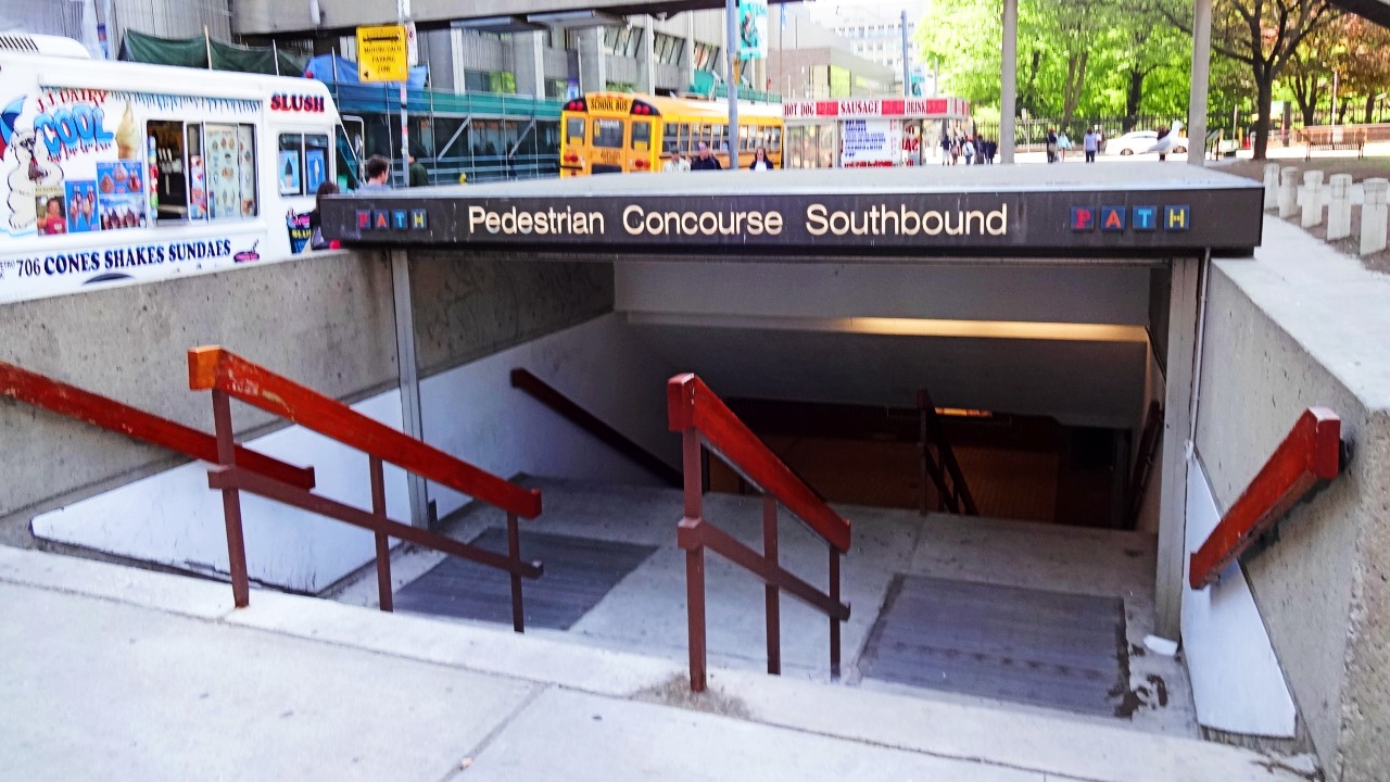
A brief history of Toronto’s PATH
Where did the city’s underground pedestrian walkway get its start, and why? We’ve got answers.

The name PATH — used for Toronto’s underground pedestrian walkway — doesn’t officially stand for anything, but if it did it would be “Pretty (much) All The Hallways.”
According to the City of Toronto website, the PATH spans more than 30 km and connects over 75 buildings, including three department stores, six subway stations, nine hotels, and a host of popular tourist attractions. Along the way, there are roughly 1,200 shops, restaurants, and services for the convenience of PATH-goers.
It’s open all year round, which is particularly helpful during Toronto’s weather extremes.
”What if I told you that if you lived here in Toronto you could go through the
entire winter without ever having to go outside?” blogger and Transit YouTuber
Reece Martin asked in a 2021 video. “The PATH is an incredible thing that
connects to a lot of transit facilities, different destinations, and
everything in between.”
Though it can be daunting to navigate for first (or even fifth) timers, the PATH covers a lot of ground. It reaches to Dundas St. in the north, Yonge St. in the east, Queens Quay in the south, and John St. in the west. For a full view of the network, check out the visualization accompanying this article.
Of course, the PATH wasn’t always so robust. The system was built up over decades, and started with just a single tunnel in the early 1900s. Here’s a brief history, with help again from the City of Toronto website.
1900: Toronto’s first underground path
The first underground path belonged to the Eaton’s department store. In 1900, the company built a tunnel to connect its main store at 178 Yonge St. to the Eaton’s Annex, a retail and office building.
That act didn’t exactly create a gold rush of tunnel building, but by 1917 there were five tunnels in Toronto’s downtown core.
1920s–1970s: From beneath you, it devours square footage
When the “new” Union Station opened to great fanfare in 1927, it came with a tunnel that connected it to the Fairmont Royal York (then the Royal York Hotel).
A major growth milestone was reached several years later in the 1970s when a tunnel was built to link the Richmond-Adelaide Centre at 120 Adelaide St. W. and Sheraton Centre at 123 Queen St. W.

1980s–1990s: PATH comes out of the shadows
In 1987, Toronto City Council became the co-ordinating agency of PATH and agreed to pay for the system-wide costs of designing a signage program.
Around the same time, PATH’s name and logo were registered to the City of Toronto.
In the early 1990s, signage was added to make navigating the tunnels easier for pedestrians. According to the City website, this signage played a large role in attracting more people and businesses to Toronto’s downtown core.
2010s: Finding the way
In 2016 and 2017, the City of Toronto and the Toronto Financial District BIA hired consulting firm Steer (then Steer Davies Gleave) to develop a new PATH wayfinding system.
Installation of the new system began in 2017 and was completed in 2018. Of course, “completed” in this case is temporary — as new tunnels open up and the PATH continues to grow, signage requires consistent updating.
Icons by Icons8
Code and markup by Kyle Duncan. ©Torontoverse, 2023